
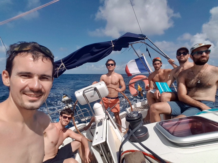
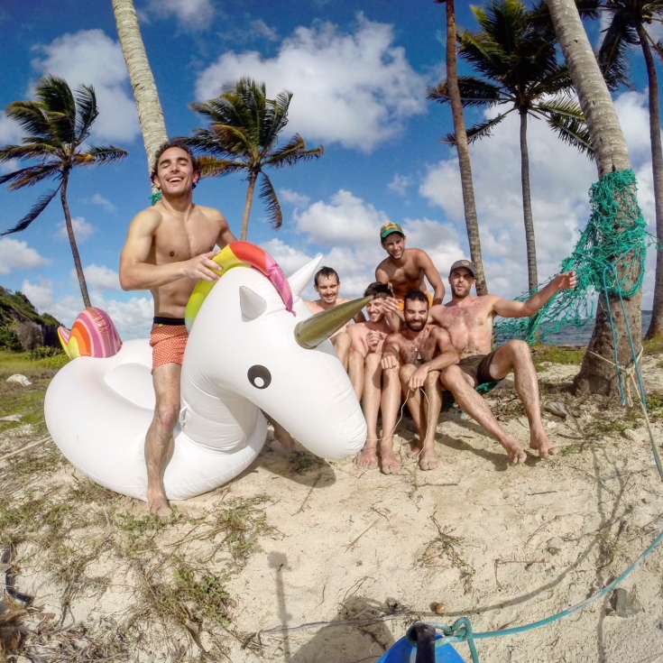
After Cuba, sailing for discovering new places was a really cool experience Yann and myself wanted to replicate. Grenadines seemed to be a good destination, especially when it’s winter in Europe! With four other friends, we took our chance for New Year’s Eve. We rent a sail boat in Martinique, and went south, with one target: the Tobago Cays Marine Park and its Virgin and inhabited islands. Here it is, one 10 days of sailing and around 300 nautical miles story.
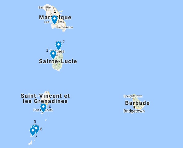
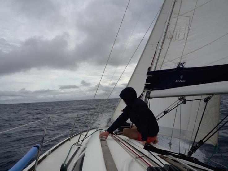
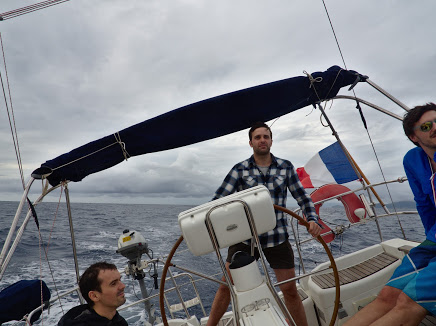
The six of us gathered to Martinique, at Les Trois Îlets, a marina at the Southwest of the island. We left the French Caribbean Island on December 31 at 1pm with an unexpected weather. It was raining so much that day, not the typical conditions we expected.
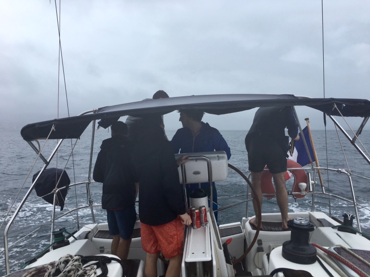
Our happiness to be there was a little bit challenged during our first ride, as weather conditions were quite tough. It was also an excellent opportunity to determine those with a tendency to get sea sick among the group 🙂
Saint Lucia
Did you know? Saint Lucia is a sovereign island part of the Lesser Antilles. It covers a land area of 617 km2 and reported a population of 165,595 in 2010. Its capital is Castries. Because it switched so often between British and French control, Saint Lucia was also known as the “Helen of the West Indies”. The country became independent from the British Crown on the 22 February 1979, and belongs from that date to the Commonwealth.
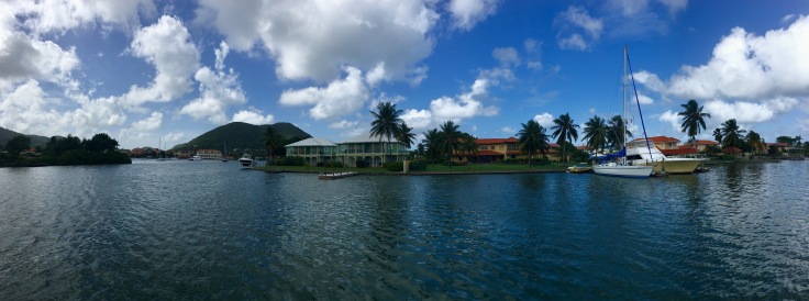
We arrived in the marina of Saint Lucia, Rodney Bay, after a six hours ride, happy to arrive in calm waters. Rodney Bay marina is located 20km North from Castries, the capital city. Quite a surprise, people did not really celebrate NYE, we just saw some fireworks far off, but nothing outstanding.
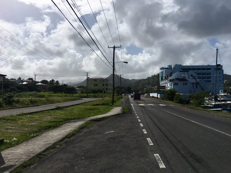
Even if the island is not really far from Martinique, the island remains quite different in terms of infrastructure and population.
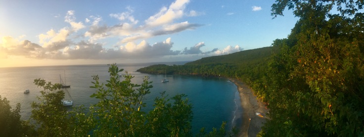
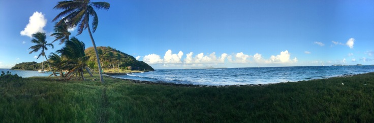
Rodnay bay was just a stop for us, and we headed to the south of the island, to the bay of Anse Cochon. With a great weather and calm sea, this was what we were coming for! Anse Cochon has a very limited access to the beach by land, which makes it very quiet for people coming by boat.
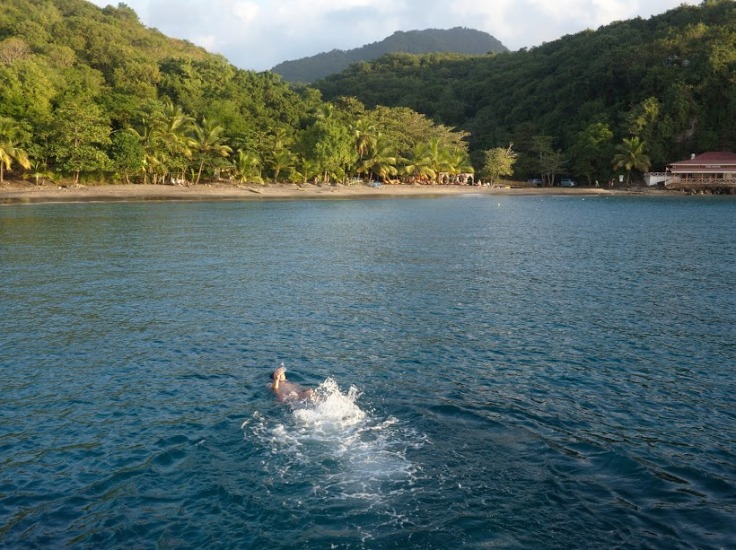
As Saint Lucia is a volcanic island, sand can be dark, mainly in the south.
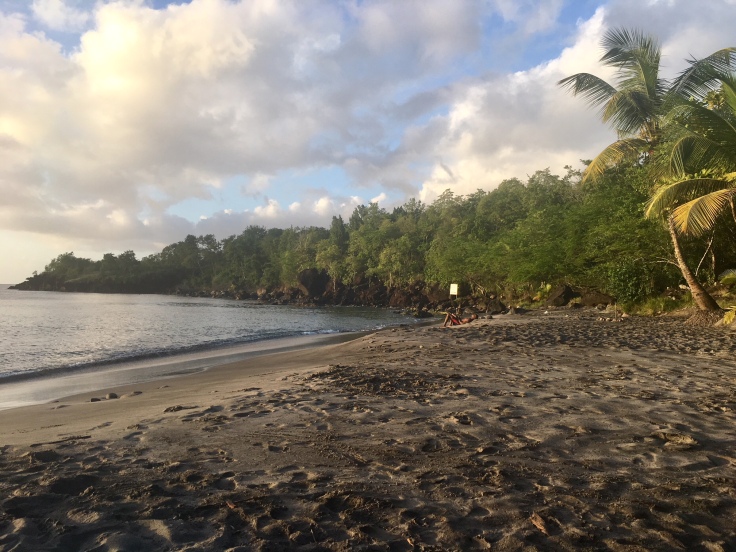
Above the beach is a viewpoint on the sea and the jungle. When sunset came, we were one of the two boats left.
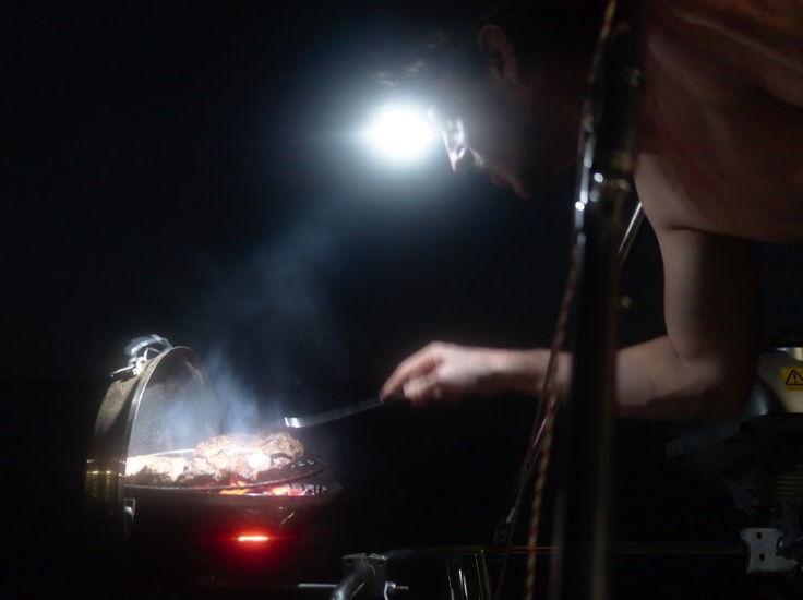
Life for the first day of 2018 was not too bad, and we celebrated it with a nice entrecote 🙂
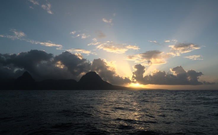
Leaving Anse Cochon at sunrise gave us a nice view on the highest mountain of the island, Petit Piton.
Twelve hours of sailings were waiting for us, including a few stops when the wind stopped blowing.
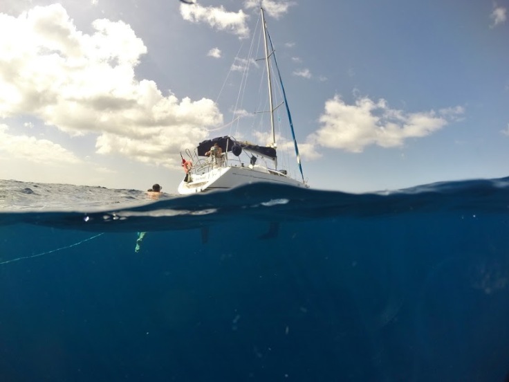
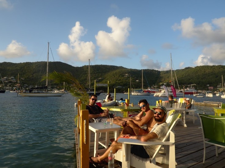
One by one, helming the boat is quite fun, and it’s quite easy to have a drink meanwhile – ti punch and local beers recommended.
Bequia
Did you know? Bequia is the second largest island in the Grenadines with 18 km² (after Carriacou, a dependency of Grenada). It is part of the country of Saint Vincent and the Grenadines and is approximately 10 miles from the nation’s capital city, Kingstown, on the main island named Saint Vincent. Bequia means “island of the clouds” in ancient Arawak (the first inhabitants from the island).
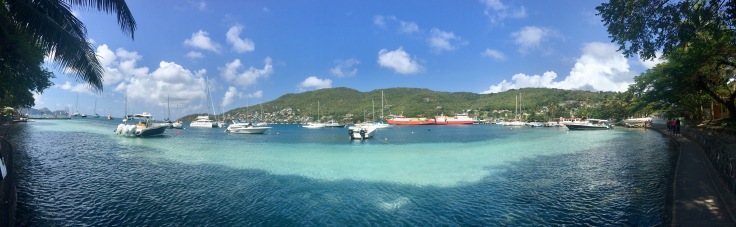
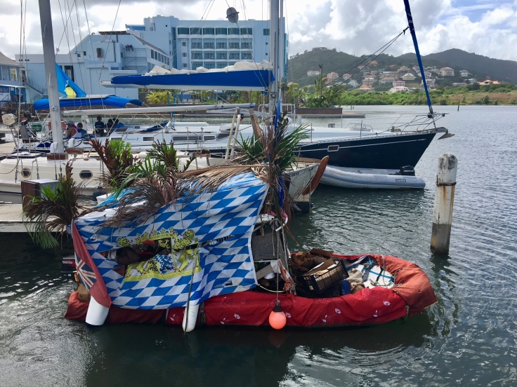
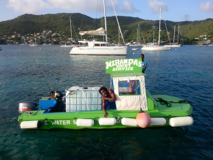
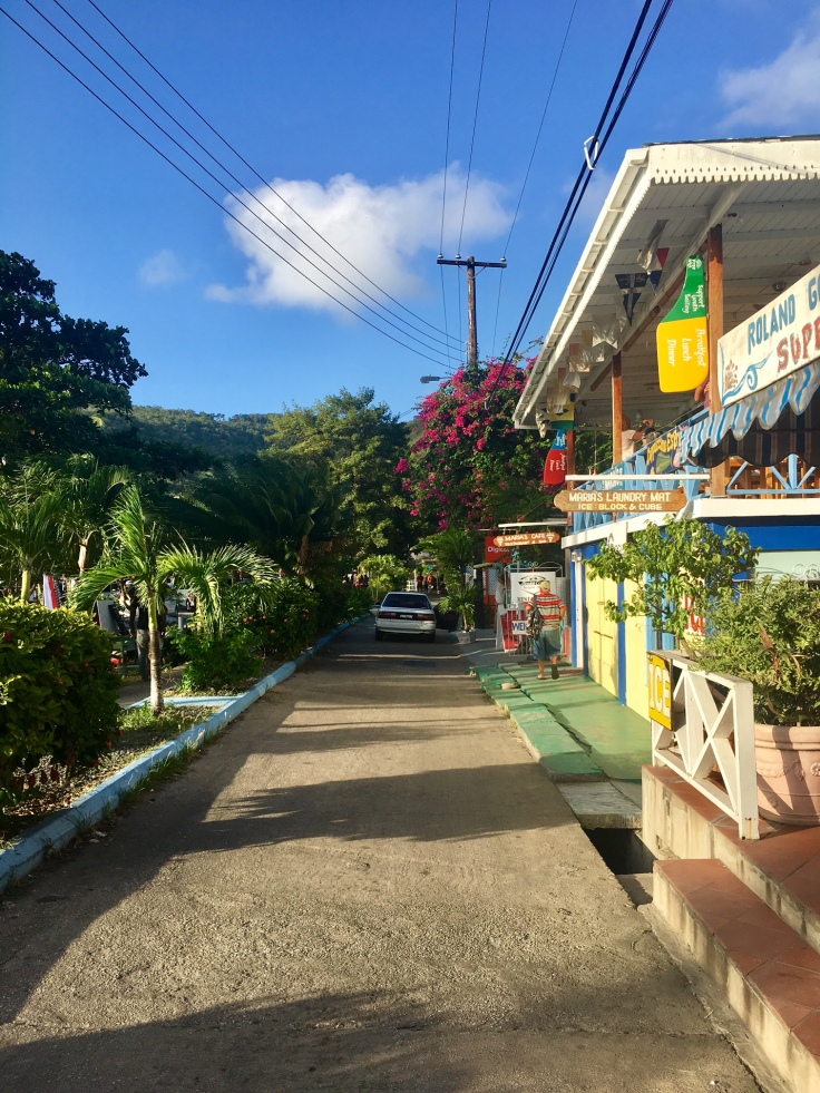
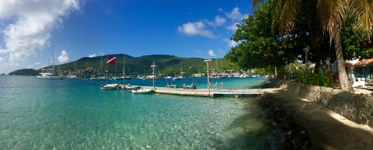
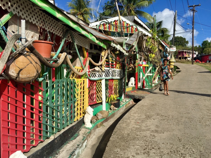
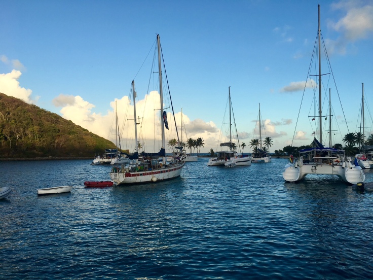
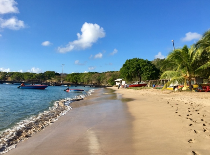
After sailing for the day, we passed through the island of Saint Vincent and reached Bequia, the entrance door of the Grenadines. The bay of Port Elisabeth shines under the sunset. Boat boys providing various services started reaching the boat one after the other. Water, lobster, fruits, taxi, they can sell interesting things, but can also be a little too much insistent sometimes.
Port Elisabeth is composed of a few streets, and mostly lives from tourism. National religion is Rastafari – Bob Marley’s religion.
Did you know? Rastafari, sometimes termed Rastafarianism, is an Abrahamic religion. Classified as both a new religious movement and social movement, it developed in Jamaica during the 1930s. There is no centralized authority of the movement and much heterogeneity exists among practitioners, who are known as Rastafari, Rastafarians, or Rastas. Rastafari refer to their beliefs, which are based on a specific interpretation of the Bible, as “Rastalogy”. The essence is a monotheistic belief in a single God—referred to as Jah—who partially resides within each individual.
And as every religion, some temples are dedicated to it.
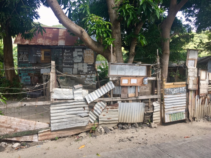
in a nutshell, a deep dive into Bob Marley’s lifestyle 🙂
Each of us was called “brother” and there was no need to rush for anything. Some of us ran once to find the rest of the group, which seemed to be quite unusual to the eyes of the local people.
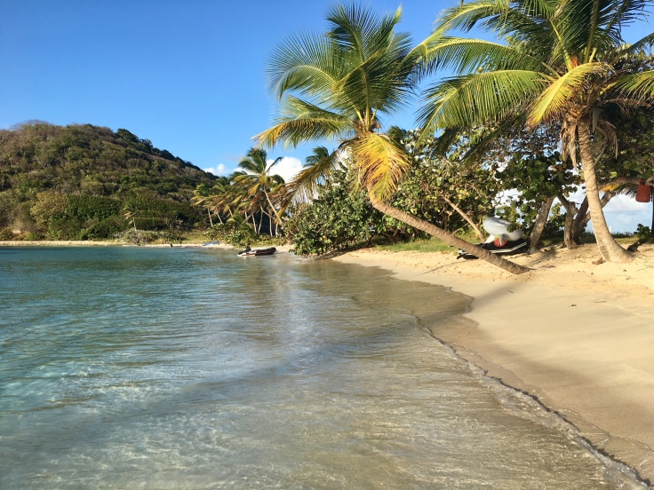
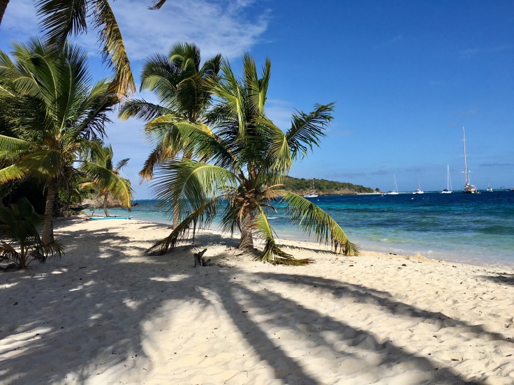
Beaches are stunning, with palm trees, white sand and crystal water. The islands of the archipelago are preserved from mass tourism, and beaches are quite uncrowned.
A small path runs along the beach, on the sand or on the side of a rock.
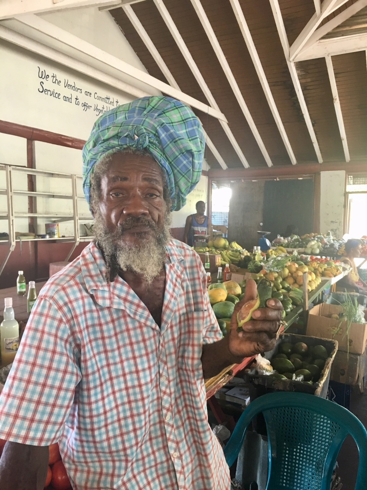
Bequia is mostly known for its market, where fishermen sell the few fishes they manage to get. But mostly, the market is known for its fruits.
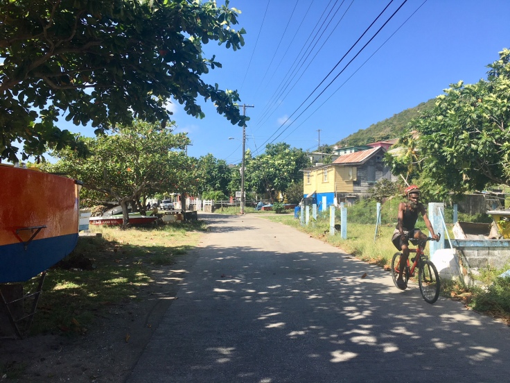
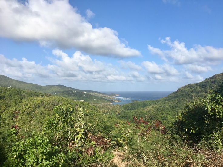
Outside Port Elisabeth, the rest of the island is scarcely populated. Taking one of the roads leaving the port will lead you on the heights of Port Elisabeth and will give a great view on the jungle and the ocean.
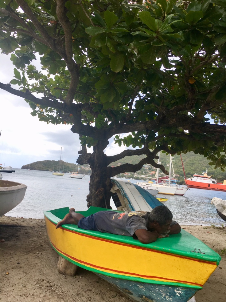
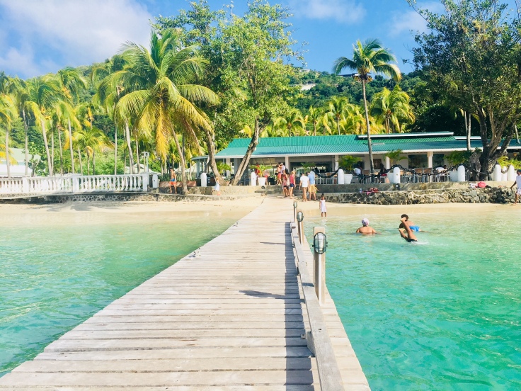
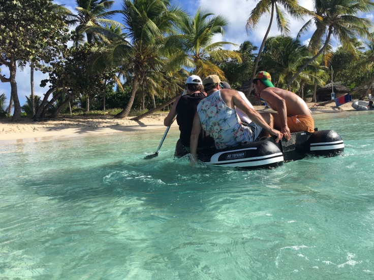
In the marina, two options to reach Port Elisabeth. Swim, or get a taxi boat. Well, anything needed to get a deserved pina colada 🙂
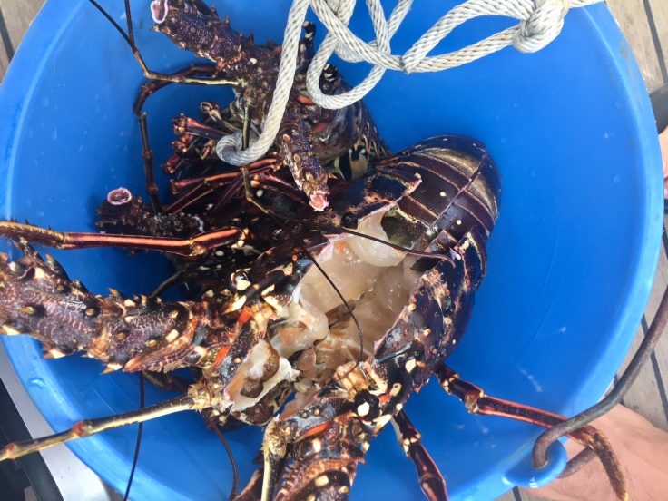
The best restaurant you can find on the island is surely yourself! Buy your lobster from local people, and cook it on your barbecue or oven 🙂
Mayreau
Did you know? Mayreau is the smallest inhabited island of the Grenadines, with an area of about 3km2 and a population of about 250 inhabitants. It is an isolated community, accessible only by boat. Electricity was only installed in 2002, provided by a central generator located on Saline Bay. The top of the island is crested with the small elementary school, the telecommunications building, the brick and stone Catholic Church of the Immaculate Conception, christened on May 12, 1930, and a Pentecostal church. From the crest of the hill behind the Catholic Church, there is an overlook of the Tobago Cays, Canouan and Union Island.
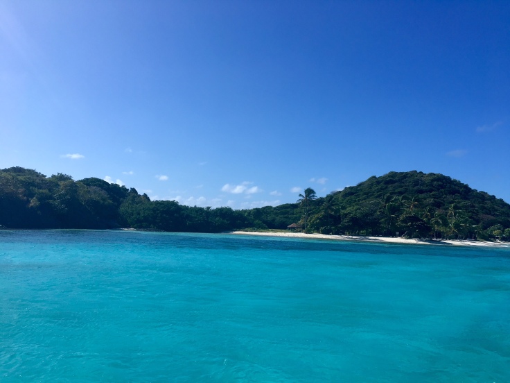
After two days in Bequia, we reached Salt Whistle Bay, in the small island of Mayreau. The island is barely inhabited, and only one road crosses it from West to East.
The only boats with us in the bay area were sailboats, coming into the area for snorkeling or kite surfing.
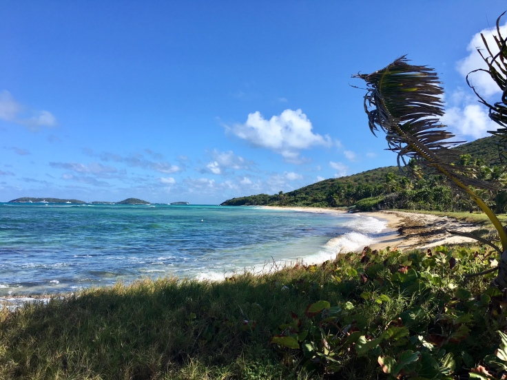
This is one of the coolest things on this side of the planet. Beaches are desert, only populated by a few boats navigating around. This feeling of loneliness is great!
The island looks pretty much like what you expect from a postcard.
There is no much snorkeling possible at Mayreau. However, long white sand beaches are circling the island, and the calm surrounding the entire island makes it so peaceful.
And when your friends are too lazy to swim until the beach, it gives this.
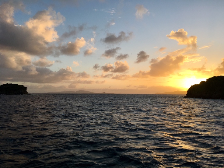
When the night comes, all stars are shining like nowhere else until the next morning, when sun starts to shine on your room through the porthole.. Yeah, we had fun on this island.
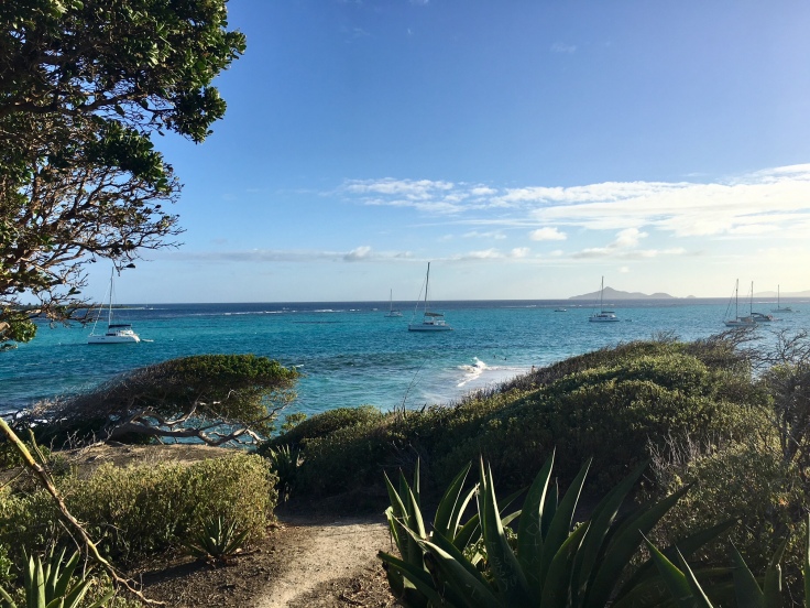
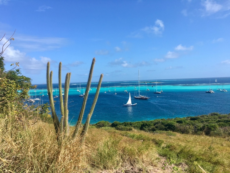
Tobago Cays Marine Park
Did you know? The Tobago Cays Marine Park (TCMP), located in St. Vincent and the Grenadines, houses a series of globally significant habitats including coral reefs, sea turtle nesting sites and feeding areas and small systems of mangroves. The marine portion of the park surrounds five uninhabited cays, the populated island of Mayreau, and three islets. The four-kilometer long Horseshoe Reef, the longest of the four main reef systems in the TCMP, encloses four of the cays (Petit Bateau, Petit Rameau, Baradal, and Jamesby) with the fifth cay (Petit Tabac) lying just outside the reef to the east.
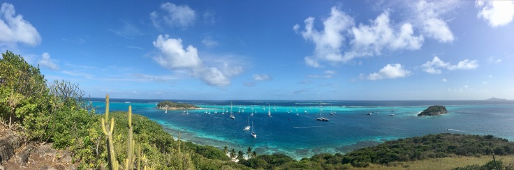
The Tobago Cays are known as the “Jewel in the Crown” of the Southern Grenadines and are of significant economic, cultural, social, and environmental value to St. Vincent and the Grenadines. And after all, this gave us a first idea of what paradise is.
Access is mainly restricted to sailboats; motor boats must stay outside the zone, which makes the park a really calm and restful place. We stayed between Petit Bateau and Petit Rameau.
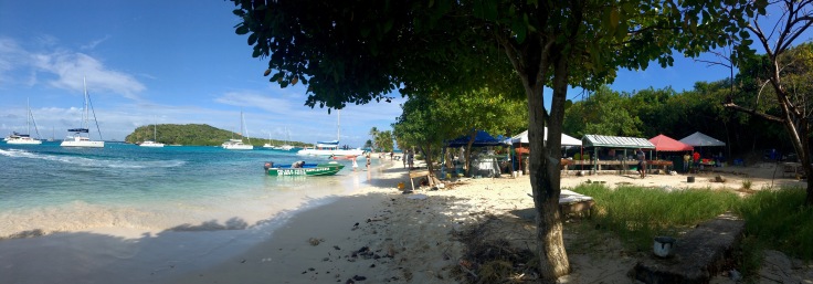
All these islands are uninhabited. Except during the day, where locals and boat boys organize a market and barbecue where visitors can find something for dinner.
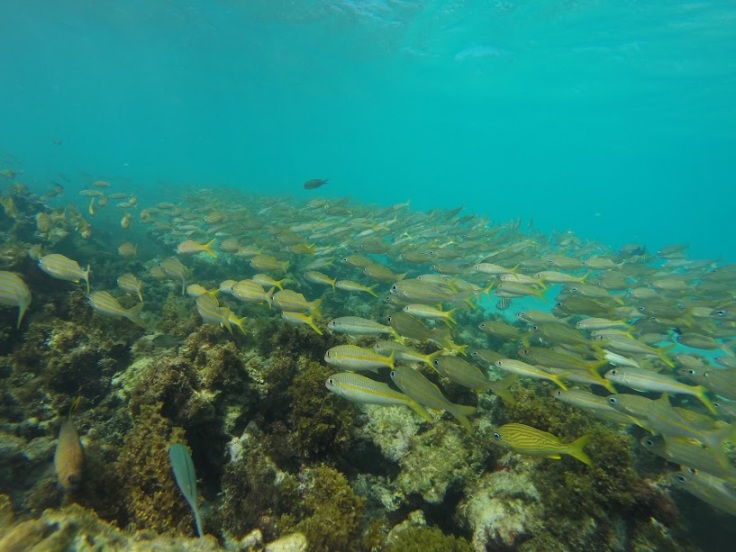
The most exceptional thing in Tobago Cays is the Marine Park though. Thanks to the quietness of the place, turtles, lines, and multiple colorful fishes populate the water.
Swimming with turtles in this environment was sincerely a blast.
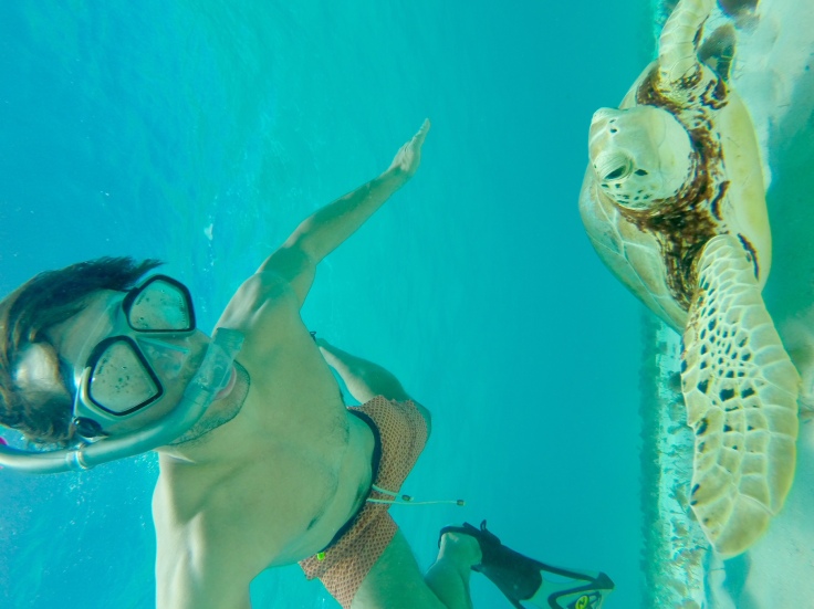
Every turtle was offering a different spectacle, and left us flabbergasted every time.
Every island of the Marine Park is worth to be explored. Through rocky paths, they will bring you to, each time, a different viewpoint on the crystal waters around you.
From sunrise to sunset, everything here makes you speechless.
Time to sail to Union now!
Union
Did you know? The first European settlers to arrive to Union were French. Jean Augler and Antoine Regaud arrived there with 350 slaves in 1763. Twenty years later, with the treaty of Versailles, the island was privately-owned but placed under the protection of the British crown. The island was at that time known for producing the finest strain of cotton known as “Marie-Galante”. In 1910, the British Crown bought it back. The island became attached to and independent within Saint Vincent and the Grenadines in 1979. As of today, around 3000 people live on this 9km2 island.
After two days in the Tobago Cays, we headed towards Union, the last island of the country of Saint Vincent and the Grenadines. We were welcomed there by a storm, which was quite impressive.
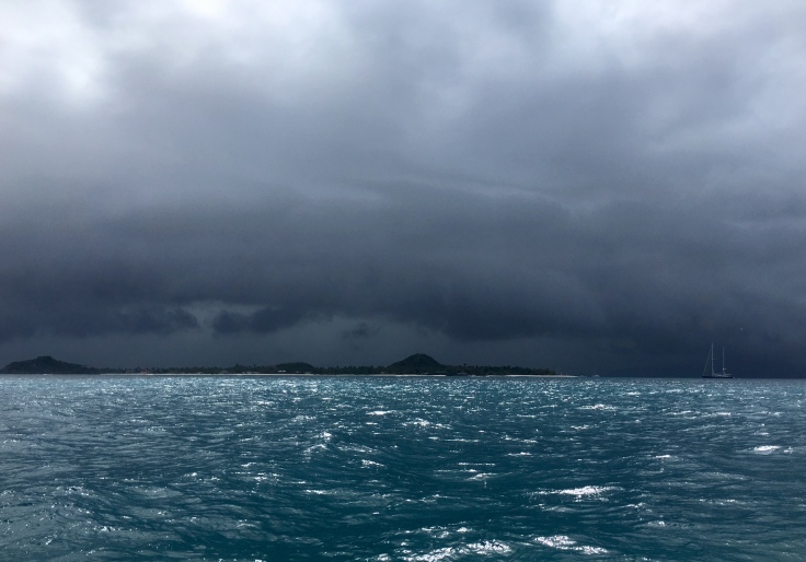
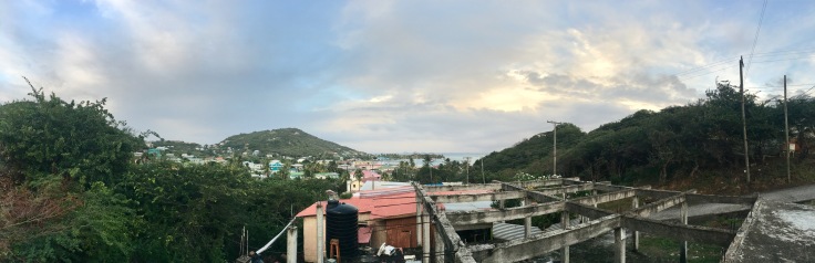
Protected within the Cliffton marina, we waited the storm to stop before going back on earth. On the ground, Cliffton appeared to be a small and abandoned town. The only obvious resource there is tourism, and the atmosphere is a bit depressed.
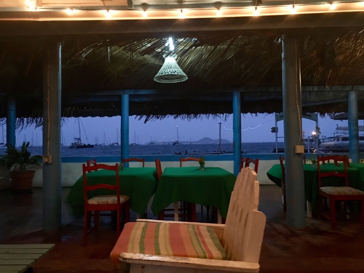
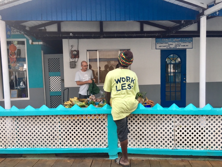
Even with the high prices, the overall sentiment was that the island is very poor. Conversely, despite having lots of fruits and fish, food was not outstanding.
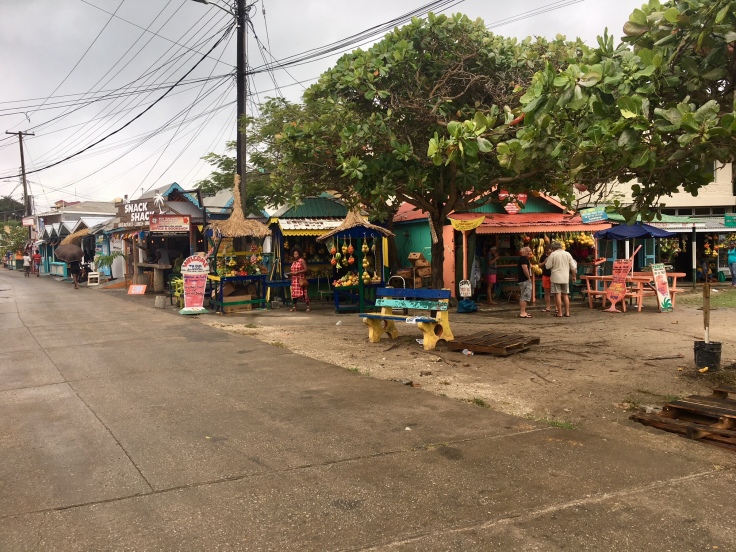
The main road of Cliffton is strewn of small supermarkets and coffee shops, more populated by the sailors than tourists. Cliffton is more a place for visitors to buy food for the next sailing days rather than sightseeing.
It took us four days to reach out Martinique, which was the end of our trip, and stopping during the night in places we stopped on our way down. Thanks Captain for making this possible 🙂 It was amazing!
I flew to Guadeloupe to visit a really good friend, but this will be detailed in a later post, when I’ll go back there for a longer time 🙂

Leave a comment